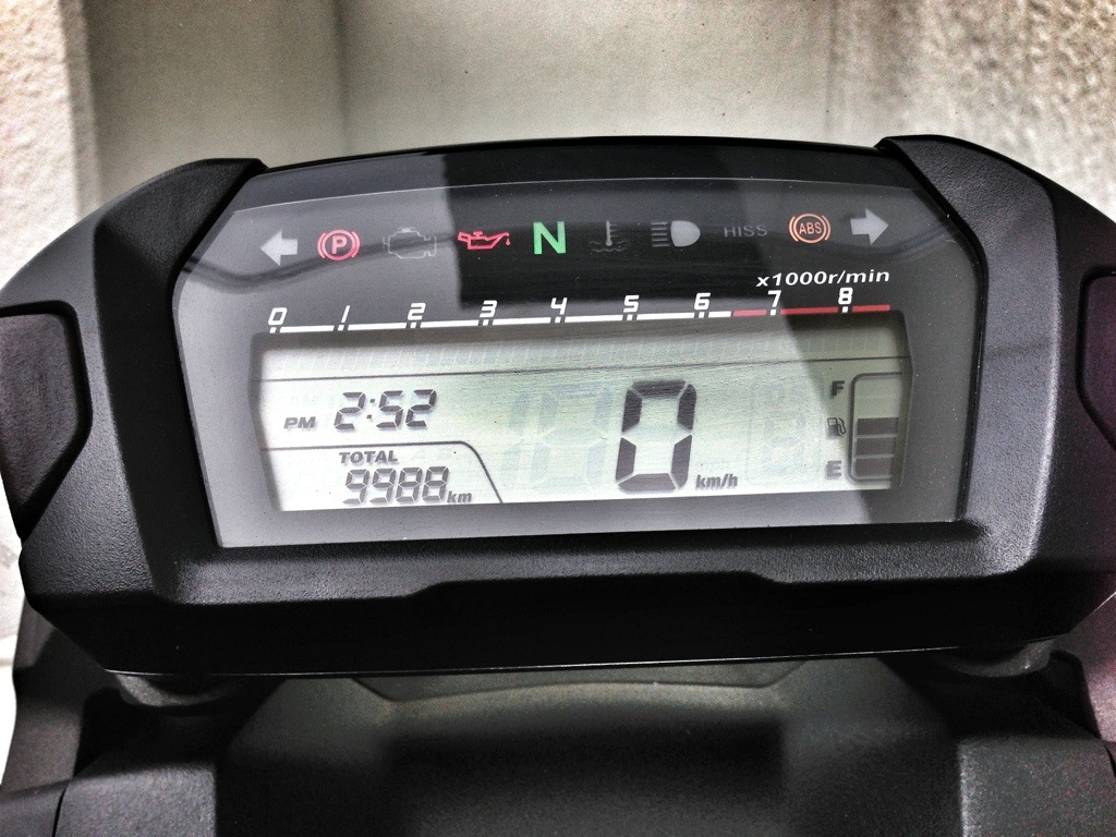
9,988 km on the clock to start.
9,988 km on the clock to start.
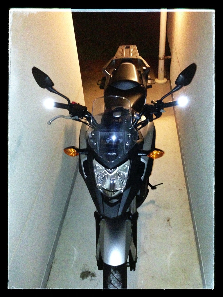
I ordered some new 3M retro reflective visibility tape from Rakuten the other day, and it arrived today, just in time for my trip.
As I’m sure you can tell, I have only added the tape to one side of the top box at this point. The tape really makes a huge difference. It actually looks like there’s a light in one side of the top box now. Now if this would only make me more visible to the deer then I would be all set.
* Update*
I took some of the leftover tape and added it to the end of my handlebars. Now the width of my bike will be clearly visible to oncoming traffic and maybe even to cars coming from behind as well.
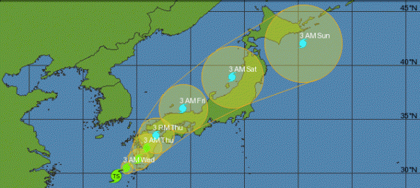
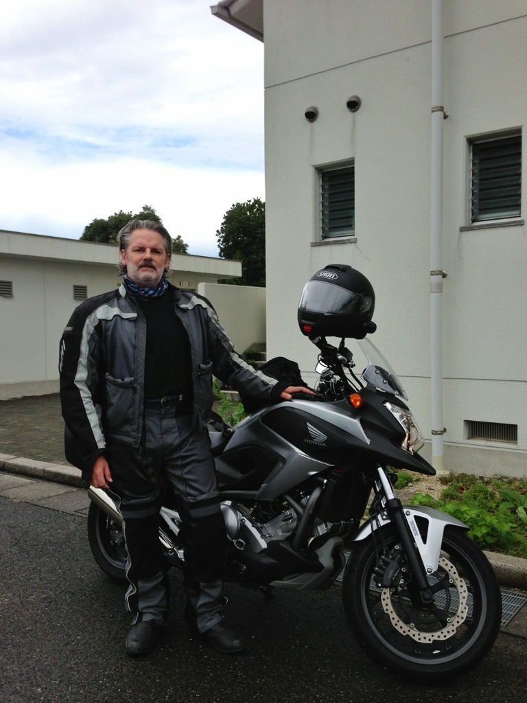
It looks like the Hokkaido trip is facing a rain delay. It has been hammering down pretty good today, as I think we got almost 5 cm of rain. I was scheduled to ride up to Kanazawa tomorrow, which is an 8 hour ride on the highway, but I would have Tropical Storm Toraji chasing me the whole way.

The forcast for tomorrow is 100% chance of rain with about 4.8 cm of rainfall. It doesn’t look much better at night. As such, it looks like the kids will have to put up with me for at least one more day. (Two, more likely…)
In the meantime, I have my luggage laid out and ready to pack, and a new roll of retro-reflective tape arrived today, so I will be adding some visibility to the bike before I go. The delay will only make the visibility mods easier. Safety first.

If you think I am missing anything, please let me know. ;^)
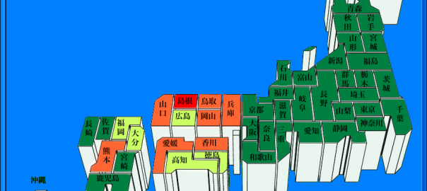
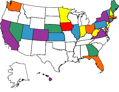
I have noticed on an American based NC700X forum that I participate in that a lot of riders have colorful American maps in their signature line. These maps are colored to highlight where they have traveled on their motorcycles. The images are created by a website, visitedstatesmap.com, that automagically colors the image for you. You just tick off the states you have been to on your bike and the site produces a colorful image for you. Unfortunately, I have not had much luck finding something similar for Japan. As such, I had to hack one together myself.
I spent more time on this than I care to admit… Between searching for the best map to use, removing all the color fill, retyping all the prefecture names, and recoloring it I spent the better part of an afternoon/evening on it.
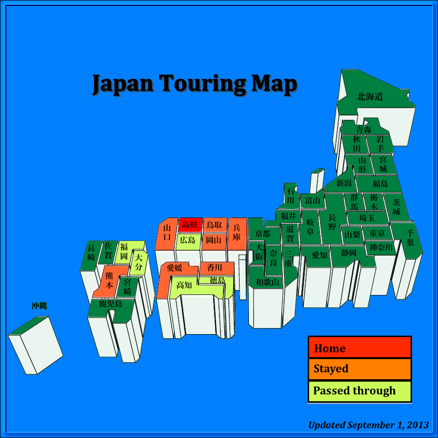
So far I have only overnighted with my bike in seven other prefectures besides Shimane, and toured through five more. I have probably ridden in Hiroshima as much as in Shimane, as most of the good roads in the mountains around here go back and forth between the prefectures, but until I pop a tent on that side of the mountains Hiroshima will remain yellow.
So far I have ridden all of the Chugoku region (Yamaguchi, Shimane, Hiroshima, Tottori, Okayama), all of Shikoku (Ehime, Kōchi, Kagawa, and Tokushima), and almost half of Kyushu (Fukuoka, Kumamoto, and Ōita). I think that by the end of my upcoming Hokkaido trip, I will add ten more prefectures to the map, three of which will be overnight stays.
I am really looking forward to filling this map in completely over the next few years… Wanna go for a ride?